Egypt western desert Great Sand Sea
Egypt western desert Great Sand Sea is the second largest continous sand covered area on earth (after the Grand Erg Oriental, in Algeria).
It is a huge mass of sand that originated in the chain of wind excavated depressions paralleling the Mediterranean coast from Jalo (Libya) to the Qattara depression (Egypt).
It is called the Great Sand Sea in Egypt,
but the Calanascio Sand Sea to the west in Libya is a continuous part of it, as is the Rebiana Sand Sea, which is the southern extension of the Calanascio Sand Sea lying to the West of Kufra.
The western edge of the Rebiana Sand Sea may be considered the edge of the Lybyan Desert.
{google_map}Egypt Qattara depression{/google_map}
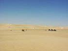
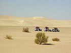
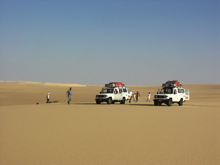
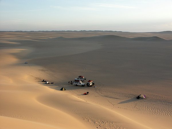
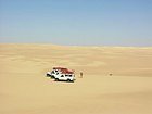
A very special and remote area between the sand dunes of the southwest corner of Egypt, the Great Sand Sea presents a rare and mysterious treasure.
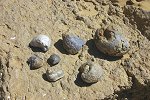
There are many theories about the origins of the unique Libyan glass.
Some think that it is related to radiative melting, or ancient warfare. The glass was first discovered by stone-age Aterian peoples, who made tools from the glass, and later by Egyptians.
A polished piece of glass was centered in an elaborate piece of jewelry found in King Tutankhamen’s tomb.
Since these times, the glass remained untouched because of the harshness and inaccessibility of the region.
After King Tut’s time,
P.A. Clayton was the first to explore the area in the 1930s. He collected samples that helped to develop the first scientific description of the glass and theories of its creation.
The harsh landscape and environment prevented visitors to the area until the 1970s, when two meteor impact structures were discovered, providing further evidence of the origins of the fascinating glass.
Today, the glass is a popular souvenir, but how King Tut got his hands on it remains a mystery.
It has been estimated that the glass was formed around 26 million years ago.
Chemical analysis of the natural glass reveals that it is fortified with “meteoritic elements with typical chondritic proportions,” leading scientists to believe that the glass is the chemical result of a meteorite colliding with the nearly 100% silica composition of the sand.
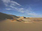
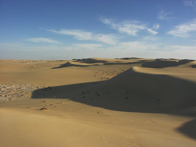
The Great Sand Sea
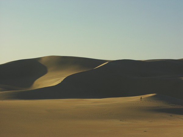
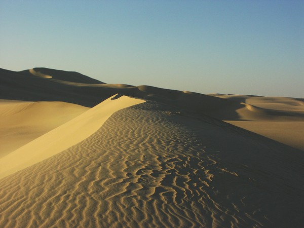
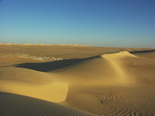
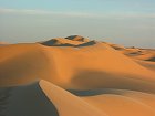
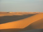
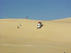
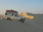
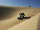
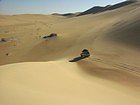
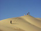
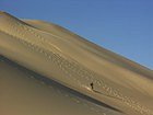
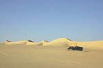
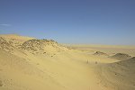
The prevailing winds organise this great mass of sand into huge longitudinal crested dunes (“seif” dunes) stretching uninterrupted for hundreds of kilometres, with smooth sand filled (or near the edges sand free) corridors in-between the dunes.
The structure of these complex interrelated forms was first studied and described by Ralph Bagnold, whose work is still the standard textbook on the subject (The Physics of Blown Sand and Desert Dunes, London, 1941).
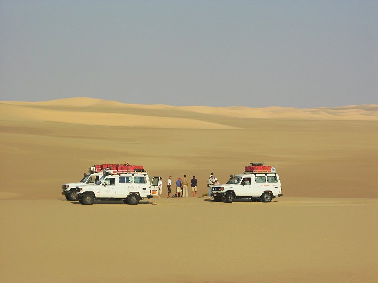
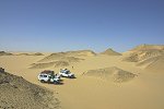
This peculiar alignment makes north-south travel very easy among the dunes, but any east-west traverse requires crossing the dunes, as it was discovered by the Rohlfs expedition in 1973, who were forced to turn north and follow the alignment of the dunes to Siwa, marking their farthest point west by a cairn at Regenfeld.
The eastern sides are generally steep, while the western sides rise gradually, with pockets of liquid sand.
A west to east crossing is relatively easy, but it can be a challenging task in the opposite direction.
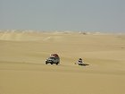

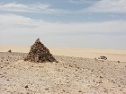
The first west to east crossing of the Egyptian part was accomplished by Patrick Clayton in December 1932, building “Big Cairn” at the spot he reached on the far western side.
However this is not the true far side of the entire Sand Sea, only a large flat sand free plain (serir), which is bordered on the north and west by the Calanascio Sand Sea.
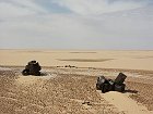
During WWII,
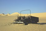
this route was regularly used by the Long Range Desert Group to get behind enemy lines, one of their abandoned Ford F30 trucks still rests in the sand west of Ain Dalla.
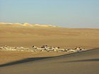
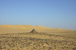
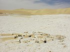
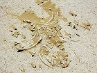
While the interior of the area is completely immersed by sand, some outcrops of rock offer a glimpse into the geology of the country below.
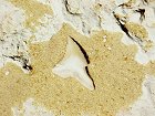
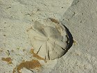
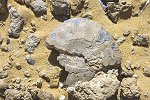
Some of these outcrops are the most important fossil bearing localities in the whle Libyan Desert. Just south of Siwa there are several outcrops of white miocene marine sediments, with abundant fossils of hard shelled sea creatures, shark teeth and even a few completely preserved skeletons of dolphin-like cetaceans.
Further south, first encountered by Rohlfs and Zittel, runs a scarp that contains the all important K/T (Cretaceous / Tertiary) boundary, and in the lower beds a mass of Maastrichtian (upper Cretaceous) marine fossils, including the ammonite Libycoceras ismaeli described by Zittel. Coming from the south, the scarp appears as a chain of low hills, prompting Rohlfs to name it Ammonite Hill, confusing later travelers like Bagnold, who came from the north looking for a prominent hill on the horizon.
Contrary to expectation, the interior of the Sand Sea is not completely lifeless.
Two species of plants, Cornulaca monacantha and Calligonum commosum manage to survive in the northern areas.
The first extends 40-50 kilometres south of the northern oasis depressions, however some individuals of the latter have been observed more than 100 kilometres further south, beyond which the sands are indeed lifeless.